بهترین منطقه پیادهروی های ایالات متحده به ترتیب و نظرات کاربران
منطقه پیادهروی های برتر با امتیاز بالا


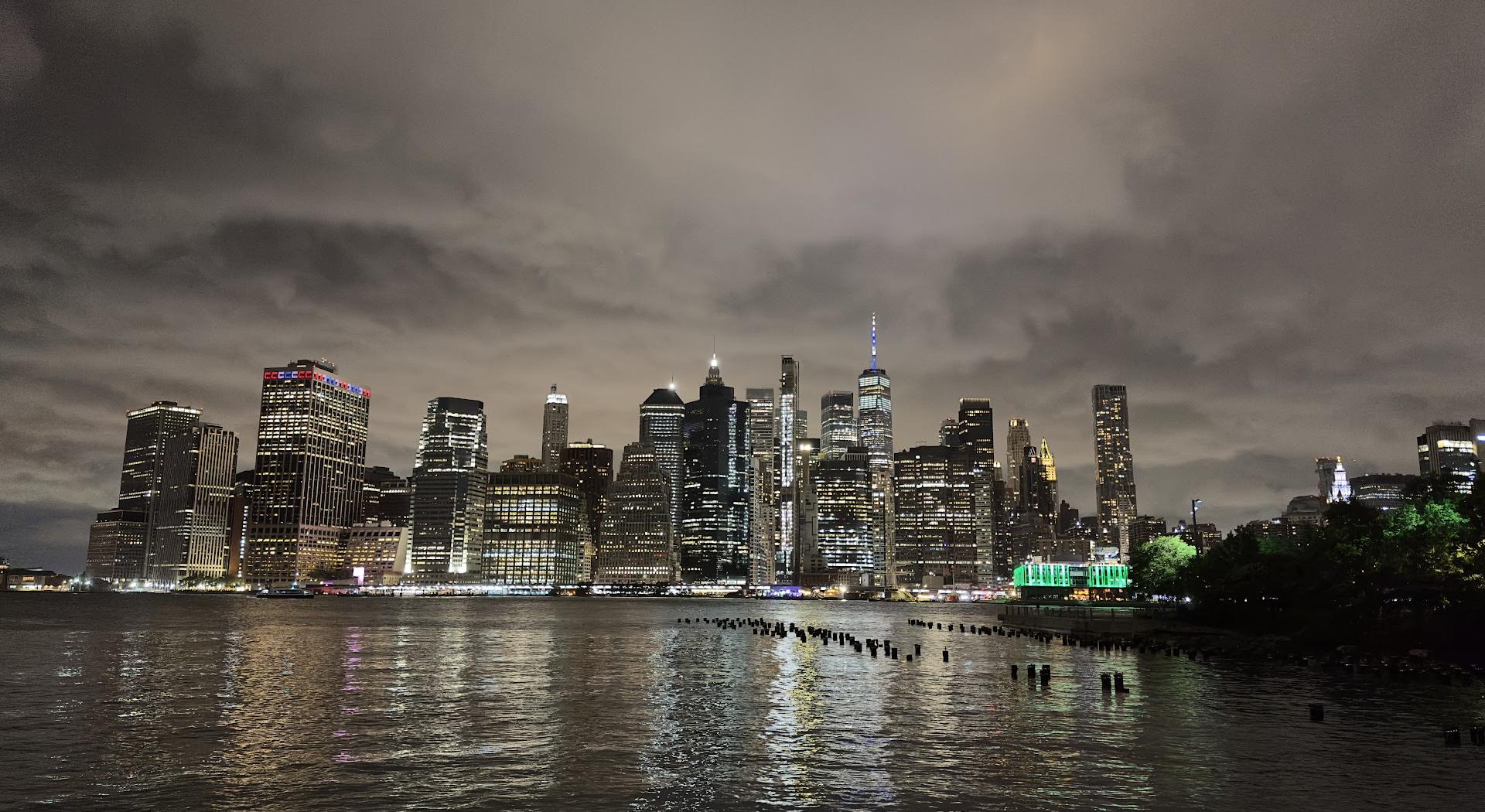
بهترین منطقه پیادهروی ها از دید کاربران


مسیر اتصال Chickamauga
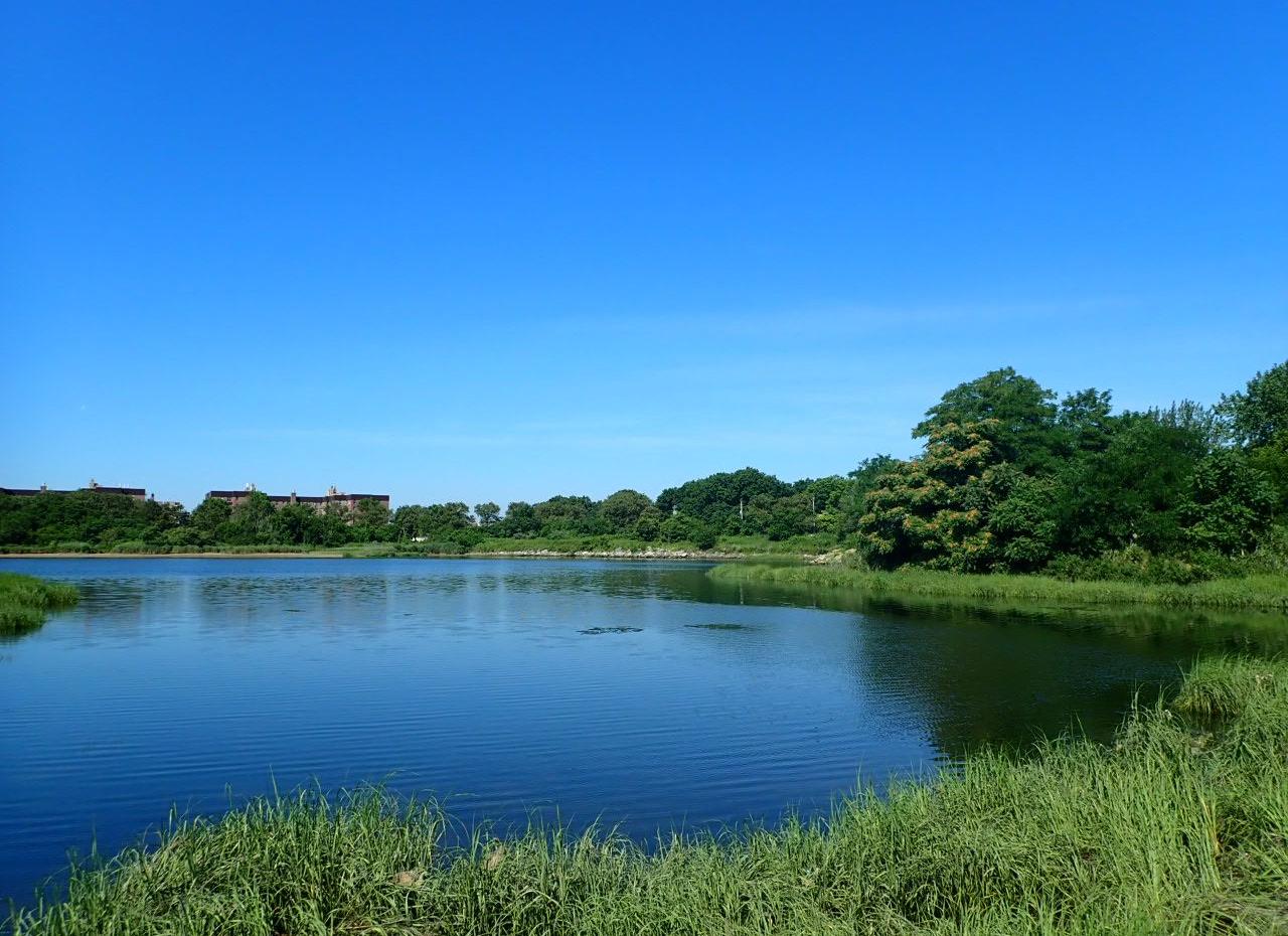
مسیر نهر بوئنا ویستا
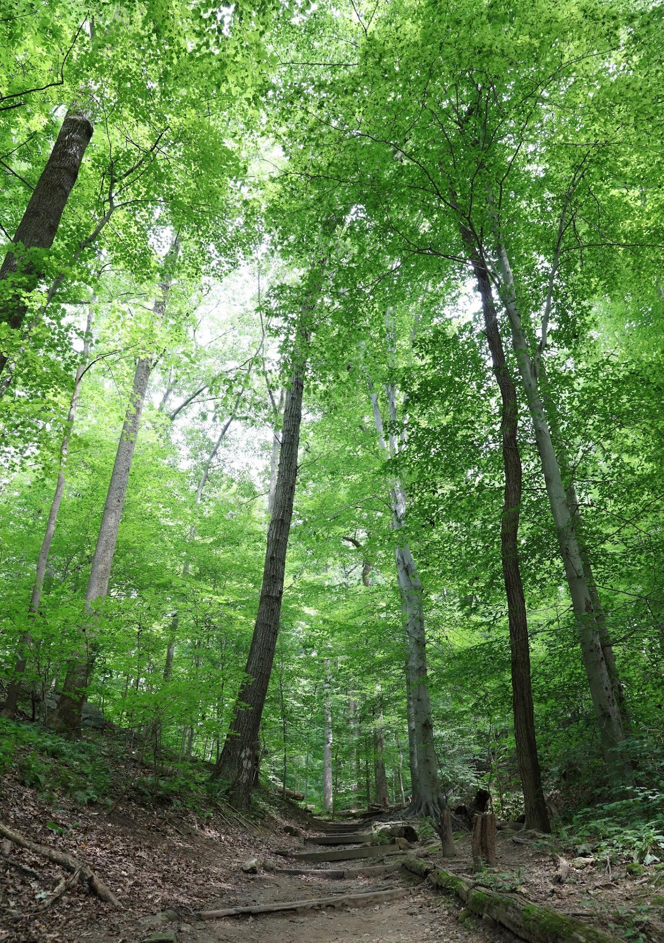
مسیر ساکنان قدیمی
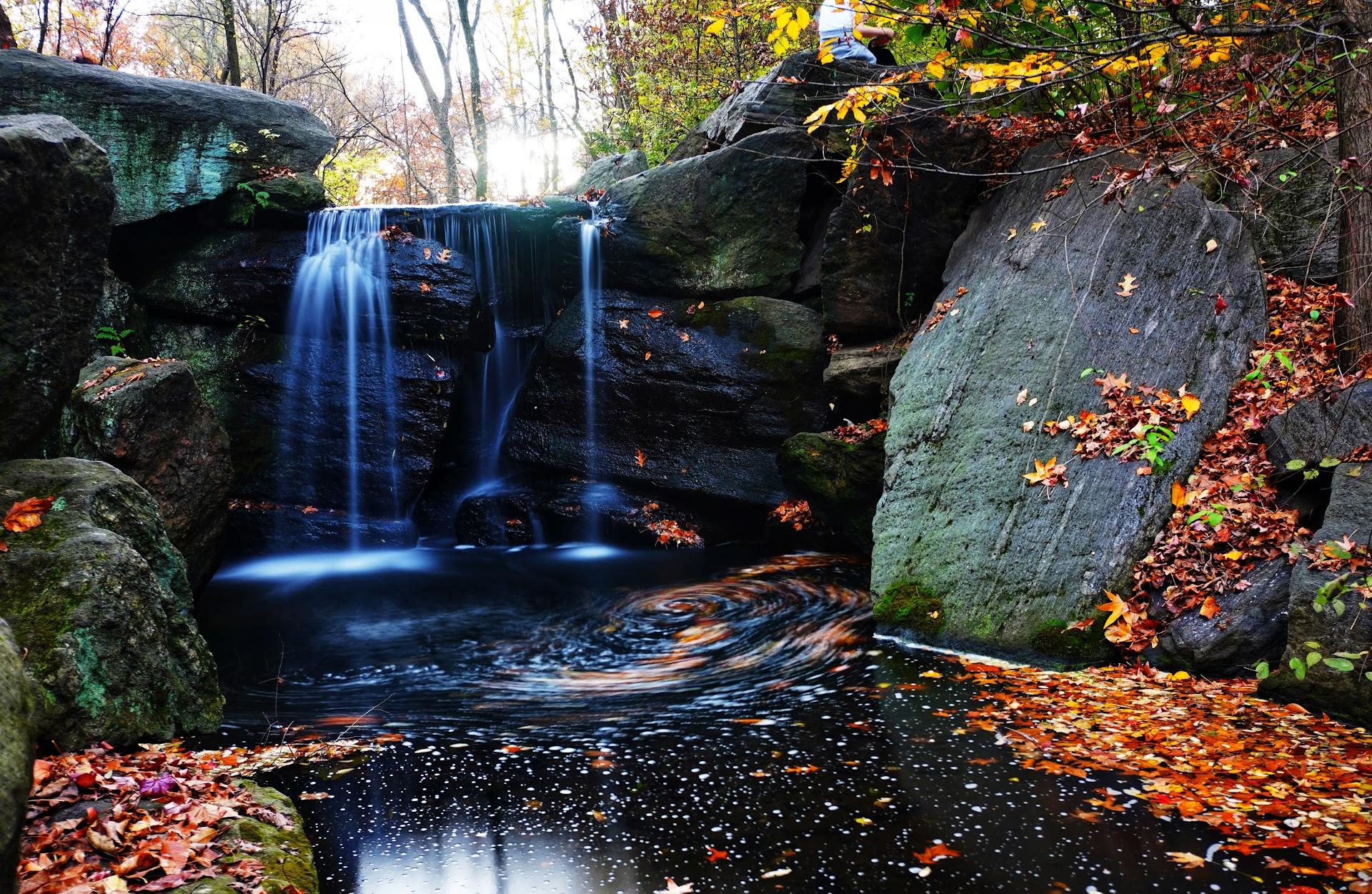
مسیر کوهستانی استل
ترولی تریل پوینت
صخره استرلا
Sligo Creek Trail
کوه قرمز
مسیر کاج
دنباله زرد
دنباله سفید
مسیر طبیعت چیشولم کریک
نظرات

So tranquil!


We stayed at an AirBNB off of Butler Branch Rd and noticed this trail was close by. Did this Black Friday 2024. We parked on the side of Martha McCarter Rd and walked across the highway to the trail access. It’s about a mile or so slog uphill to get to the Old Settlers Trail and a campground on a creek with an old ruined fireplace. Took two 4 year old boys so that’s about all they had in them. Definitely a good choice with no one around if you’re in the area. Also related note: we did not see bears here but did across the highway near our AirBNB, 2 evenings in a row, so they are definitely around.

Parallel park on Hacienda and jog across the very busy street to get to the trail head. The trail is narrower than the photos make it look and a bit overgrown. There is the occasional trash here and there but nothing to make you think there would be an encampment nearby. However, it's still a little creepy.
There was a crazy guy across the street yelling at the apartment sign at the traffic light on the west side of the park. No idea where he came from but it made me decide that once is enough for Buena Vista Creek Trail.
There was a crazy guy across the street yelling at the apartment sign at the traffic light on the west side of the park. No idea where he came from but it made me decide that once is enough for Buena Vista Creek Trail.

Visited the area, couldn't figure out which rock was the Rock of Estrella. So I commenced to lick all of them. Most of them were pretty earthy flavored, but one in particular tasted like urine.

It is a 0.3 mile rarely used maintenance road for the underground sewer. The trees and shrubs create a buffer so you feel enveloped in nature's greenery, but the sounds of traffic on the adjacent freeway shatter the illusion on several spots. I tried it on a gravel bike, but the road has not been flattened by heavy usage so there was fairly deep silt in places and strong vibration in others. It would be impassible for a wheelchair or stroller. It is a very short bike ride, but a good distance for a walk or short hike. There is a lot of street parking, but visitors and guests of the apartments across the street fill most of them in the evenings. Of course parking is easy while apartment dwellers are at work during the day. The Fiskar Dealer is not far and their parking area has been empty since their bankruptcy so you might be able to park there, but it would double the length of the walk.


Good little hike with my 7 yo son. We went about 2 miles in from the Wafloy Village entrance. It was a beautiful wooded area but had a bunch of downed trees in the path. We had to cross 7 creeks in that 2 miles.

I see the other reviews are years old. We never found the trail as it takes us through private property and weren't allowed inside.


This is a very cool little trail, but it is not easy trying to figure out where to park.

Pretty trail but way too noisy being right next to the freeway.


Just found and walked the greenway section from Wilder Road at the southern boundary of the park to Osborn Road, passing underneath the four-lane. I applaud the vision of making it safety easier to walk or bike into the park!